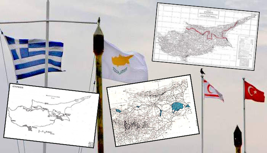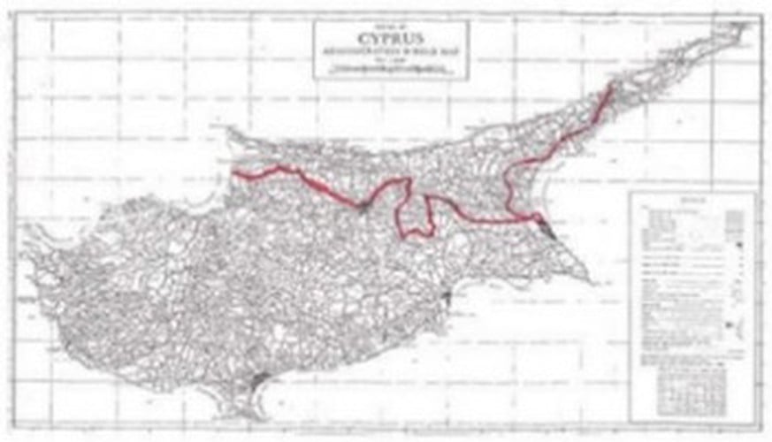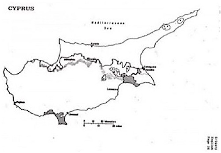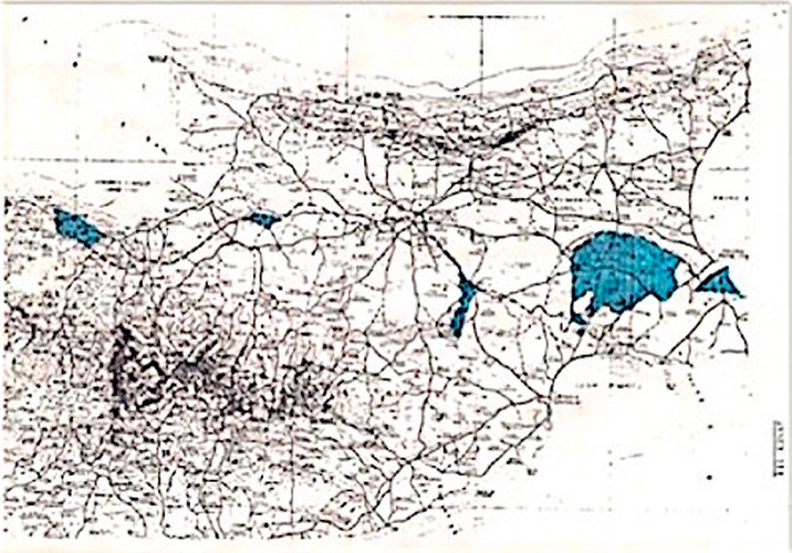

The Greek Cypriot side proposed its own maps, on March 31, 1977, drafted by Tassos Papadopoulos and on October 8, 1980. In that case, Papadopoulos proposed a 80.3% territory for the Greek side and 19.7% for the Turkish side. The Turkish Cypriot side did not present its own map.

In 1981, two alternative maps were presented by special envoy of the United Nations on Cyprus, Hugo Gobi. The first provided 27.4% of territory for the Turkish Cypriots and 72.6% for the Greek Cypriots. The second map, had 27.2% for the Turkish Cypriot area and 72.8% for the Greek Cypriot area. The Turkish counter-map claimed a percentage of 33.4% and 66.6% for the Greek Cypriots.

In 2001, Cyprus’ President Glafcos Clerides suggested 24% as Turkish Cypriot area. However, Turkish Cypriot leader Rauf Denktash counter-proposed 30% of the territory. In fact Denktash insisted then that to discuss the soil, a separate Turkish Cypriot ‘sovereignty’ should be recognized. A year later, UN Secretary General Kofi Annan presented two maps. The first suggested 28.5% being the Turkish Cypriot side, ans 71.5% as the Greek Cypriot side. The second map proposed 28.6% for the Turkish Cypriots. Annan maps did not include the gulf of Morphou and regions such as Kythrea. However Maronite villages returned to Greek Cypriot administration.
See all the latest news from Greece and the world at Greekreporter.com. Contact our newsroom to report an update or send your story, photos and videos. Follow GR on Google News and subscribe here to our daily email!


